
|
| Murrumbidgee Catchment |
|
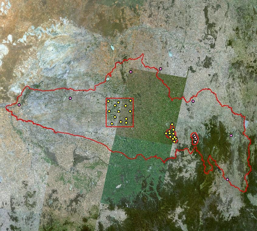
Murrumbidgee Catchment The Murrumbidgee River is a major tributary of the River Murray, draining an area of 84,000 square kilometers. Further information can be obtained from the Murrumbidgee Catchment Management Authority (CMA) website. There are seven soil moisture monitoring sites distributed evenly across the northern and eastern fringe of the Murrumbidgee Catchment (in addition to those associated with the Yanco, Kyeamba Creek, and Adelong Creek sites). Each of the Murrumbidgee Catchment sites has been co-located with an Automatic Weather Station (AWS). To zoom into a study area or to view information regarding the observation sites click on the image to the right. To view the different observations available click the titles above the image. To view different surface overlays click the titles below the image.
|
|