
|
| Kyeamba Creek Catchment |
|
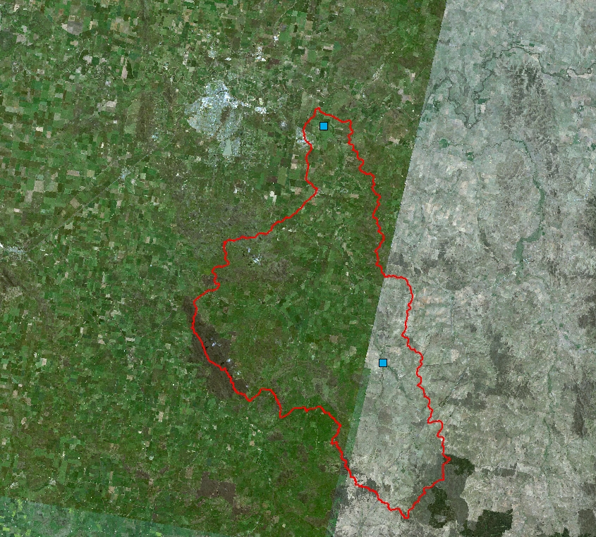
Kyeamba Creek Catchment The Kyeamba Creek catchment covers an area of 600 km2. Most of the catchment is subject to grazing and cropping, although there are some undisturbed areas in the upper-most slopes of the catchment. Streamgauges are managed by the Bureau of Meteorology. To view the different observations available click the titles above the image. To view different surface overlays click the titles below the image.
|
|