
|
| Kyeamba Creek Catchment |
|
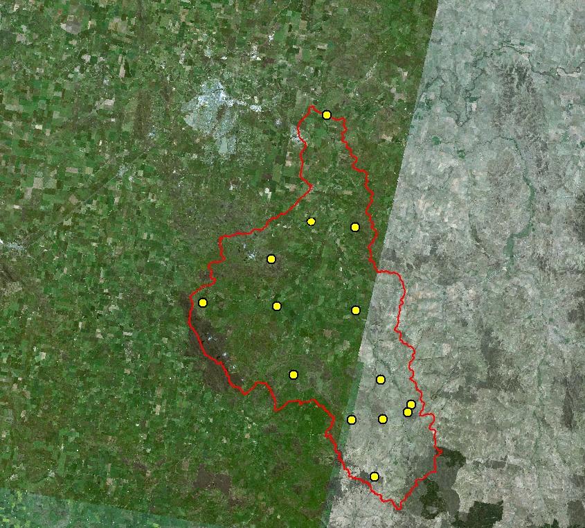
Kyeamba Creek Catchment The Kyeamba Creek catchment covers an area of 600 km2. Most of the catchment is subject to grazing and cropping, although there are some undisturbed areas in the upper-most slopes of the catchment. There are 14 soil moisture monitoring sites in the Kyeamba Creek catchment, located across both the steep slopes in the upper reaches of the catchment and near the valley mouth. To view information regarding the observation sites click on the image to the right. To view the different observations available click the titles above the image. To view different surface overlays click the titles below the image.
|
|